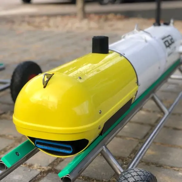
Multibeam imaging sonars are an essential tool in subsea operations, relied upon across industries like offshore energy, maritime navigation, scientific research, and underwater archaeology. Mounted on underwater vehicles, forward-looking sonars provide critical situational awareness in low-visibility environments, delivering real-time imaging that significantly enhances the safety and efficiency of underwater operations.
While perfect for live observation and focused post-operation review, sonar’s raw data has certain limitations when it comes to mapping larger underwater areas. This is where mosaicking comes into play, enabling users to stitch individual sonar images into cohesive subsea maps.
Enter SoundTiles by IQUA Robotics—a game-changing solution that addresses the challenges of traditional acoustic mosaicking.
Breaking Barriers in Acoustic Mosaicking
Conventional mosaicking methods often depend heavily on vehicle positioning systems to map sonar imagery, while this method can be effective, when dealing with vertical surfaces or complex underwater terrains, inaccuracies can often occur. Aligning acoustic images based solely on overlapping content is another traditional mosaicking method which comes with its own challenges, as noise and perspective shifts often disrupt traditional feature-based registration techniques.
SoundTiles redefines the approach. Using cutting-edge algorithms, this innovative software creates high-resolution, seamless maps from sonar imagery, producing accurate mosaics from raw data.
Mosaic of an Aqueduct using Oculus M1200d, courtesy of H2drOne and IQUA Robotics.
How It Works
SoundTiles offers a user-friendly interface designed to simplify the mapping process:
Automated Alignment: The software begins by aligning consecutive sonar images, estimating the trajectory in which they were captured.
Cohesive Mapping: It incorporates overlapping images to ensure a seamless fit, with options to adjust for noise or distortions.
Flexible Refinement: In most cases, SoundTiles can generate high-quality mosaics automatically, but for complex datasets, users can fine-tune results using built-in tools.
For those new to the technology, comprehensive training ensures users understand best practices for data collection and can maximize the software’s potential.
IQUA SoundTiles Mosaicking Software.
Expanding Possibilities
The implications of creating detailed underwater mosaics are profound. In subsea infrastructure inspection, for instance, SoundTiles enables operators to map pipelines, cables, or mooring chains with exceptional accuracy, identifying wear or damage and informing proactive maintenance strategies.
Traditional underwater mapping often requires multiple survey passes and extensive manual processing. SoundTiles streamlines this process, saving time, reducing costs, and minimizing risks. It enhances resource efficiency, improves planning, and ensures a safer operating environment.
The development of SoundTiles highlights the growing synergy between hardware and software in underwater technology. By transforming multibeam imaging sonar data into detailed maps, SoundTiles expands the utility of sonar systems, opening new doors for exploration, monitoring, and documentation.
For anyone working in underwater environments, SoundTiles is more than just software—it’s a transformative tool, enabling precision, efficiency, and insight like never before.

